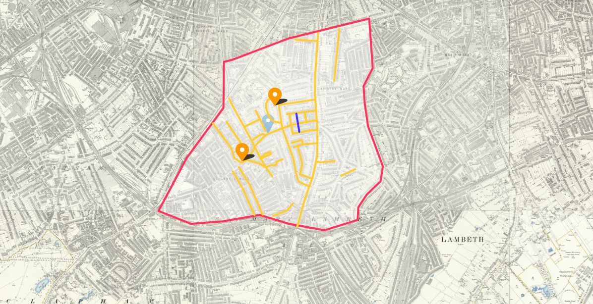
Catchment area for St Michael´s School Lambeth
St Michael´s School, Admission and Discharge Register for Infants
Saint Michael's School (0183) opened in or before 1903. Closed or reorganised in 196?
One of the hints for John Robert Hammett, b 1869 has an entry for Elizabeth Hammett attending St Michael's School according to London, England, School Admissions and Discharges, 1840-1911.
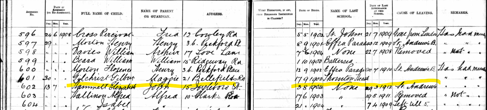
Elizabeth Hammett was admitted to St Michael's School on 30 June 1908, Admission Number 602. Her date of birth was 3 August 1904. She was 3 years, 10 months, 28 days. Understandably she had not previously attended a different school. Elizabeth left St. Michael's school on 29 March 1912, when she was 7 years, 7 months, 27 days old, to go to St Andrew's School, having attended St Michael's for a period of 3 years, 9 months.
The same record states the name of parent or guardian as being John, and in the absence any other information, presumably he is John Hammett. There is no indication the this John Hammett is the same person of the same name in my tree. Additional information and records are required to make that link. The address is difficult to interpret. However, by reviewing a lot of the entries in the record set and working with the National Library of Scotland Ordnance Survey Map, 25". I think the address as written is 15 Ingleboro' St. which I believe to be 15 Ingleborough Street.
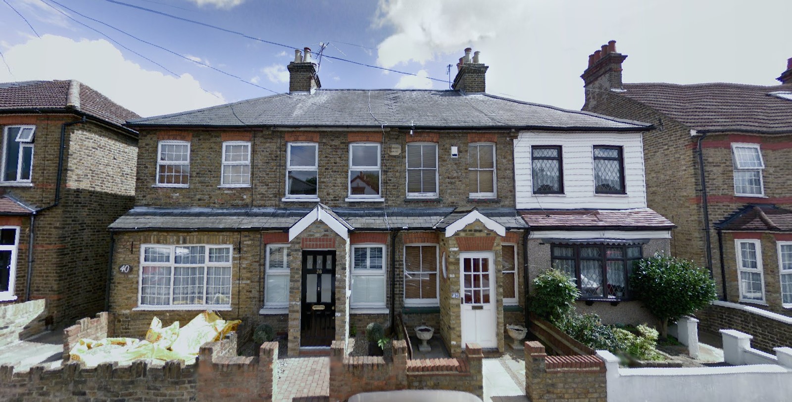
Part of Ingleborough Street still exists, as can be seen on the Google Maps below.
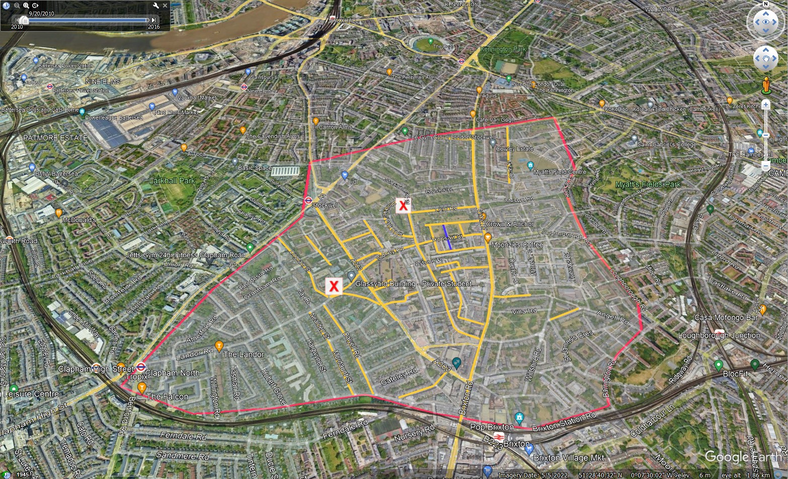
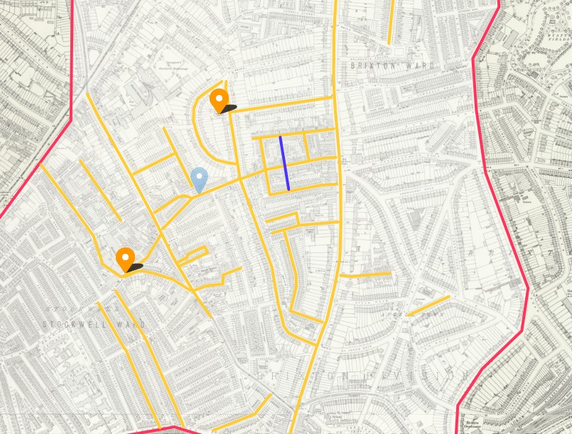
An image from Google Earth with a layer produced within National Library of Scotland Ordnance Survey Map, 25". The roads marked in yellow are recorded as addresses for some of the children St Michael´s School, Admission and Discharge Register for Infants. The road coloured blue is Ingleborough Street. The area surrounded in red is an approximation of the Catchment area for St Michael´s School Lambeth. I created the area to help locate the roads I found in the register on the OS 25" map, Having an area helps me from drifting outside a reasonable search area.
I have tried to embed the Google Earth in this site but so far no luck, so the above is a screenshot.
Below are some screenshots of the source, OS Map 25".
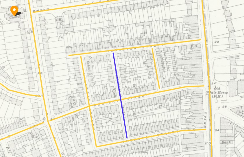
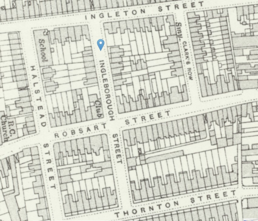
Using the old maps helps with the street names of the period of the register.