


BIM gets bigger
[Published in Civil Engineering Surveyor (CES) on October 2014]
We know of BIM as Building Information Modelling and recognise the function of the 3D Model and the importance of Information Management. I recently heard the Building word described as a verb, which could therefore be equally replaced with creating or developing Information Modelling, or perhaps Management.
Irrespective of what BIM is called it is about people, information, process, codification, and technology, in that order. With people being the largest proportion, at about 70%. The people element includes the training in new technology and new process, but more importantly the cultural change to make the working day better, for almost everyone involved. Then add the collaboration element.
BIM at a single project level now incorporates change to the management of the supply change, and significant revision to the relevant procurement strategy. The contract and commercial departments have to adopt different approaches, especially with respect to change. All the information is shared and available to all. There is no hiding place, no muddy waters. The planning department now has information about rate of construction, or outputs directly from the model, so all of the work is accounted for. They can therefore concentrate on the sequence of works, ensuring that the floor supporting the wall is built before the wall, and that can be checked using the visualisations of BIM 4D. The estimators can have the quantity take-off finished in minutes rather than weeks, or months. Link that take-off to a rates database and you have near instant estimating. Of course the estimator’s skill then needs to be applied to the rates to account for particular complexities and parameters. This ability in turn leads to the concept of design to a budget. All without huge amounts of rework. The quantity surveyor can create valuations and forecasts from the model, together with cost to complete. Progress can be monitored in 3D using the model and site cams. The designer can create option reports with meaningful cost and programme considerations, together with informed decisions regarding ‘safety by design’, whole life costs, and carbon footprint. The Engineering Assurance team can become involved progressively and contribute collaboratively during the currency of the design instead of sequentially. Nobody enjoys getting a surprise present on a Friday afternoon of 300 paper drawings dropped on their desk, for checking within 14 days. Better to be involved and sign off to the 3D model you have seen develop. Not forgetting the safety benefits of visualisations at your desk instead of a visit to site.
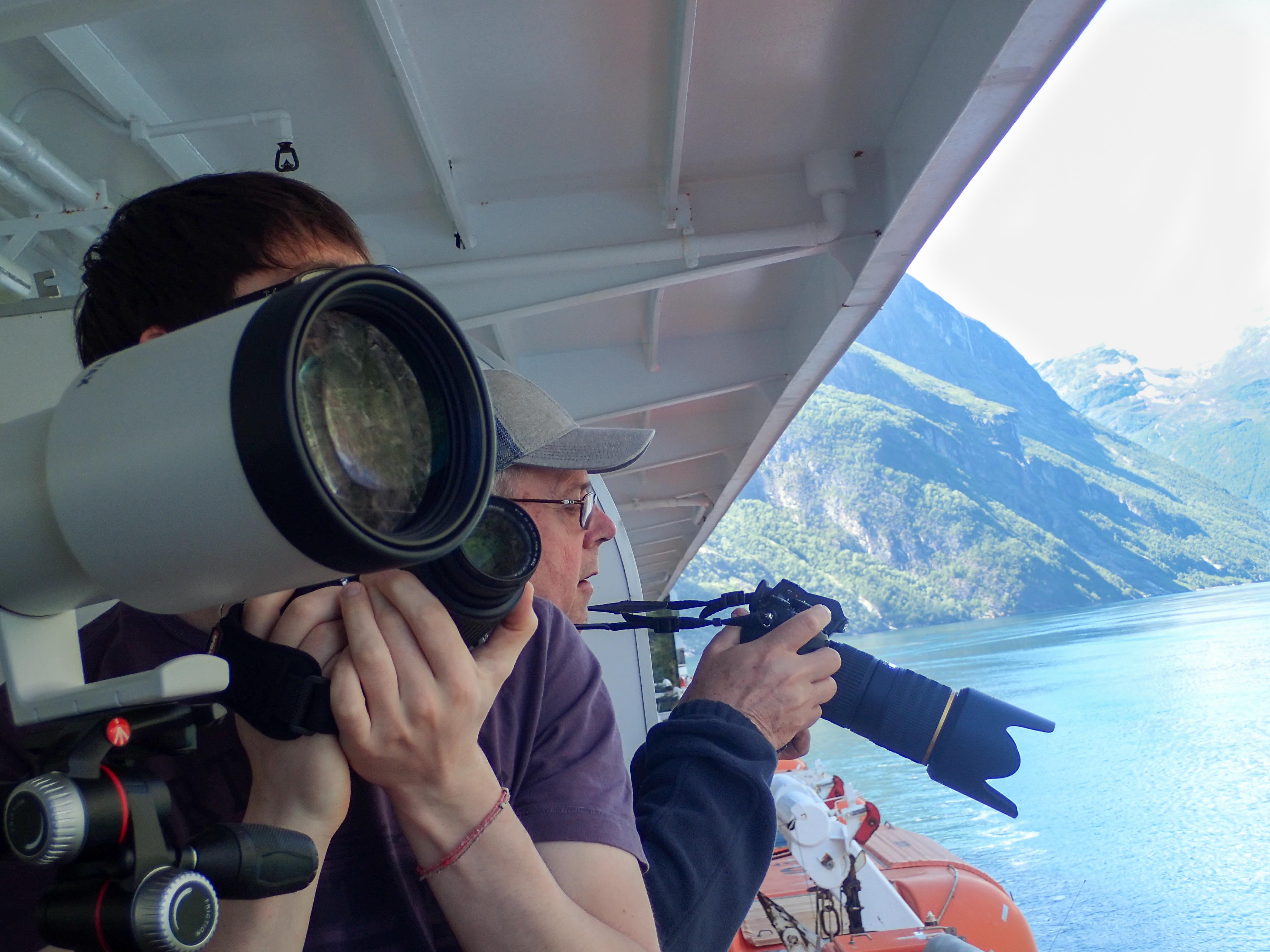
Before we leave BIM at project level, there are all of those diverse surveys to consider. LiDar, Topographical, Arial, Drones, Gauge Clearance, mounted Laser, hand held laser, Setting Out robots, and what might be called As-Built robots. Robots that check the position and orientation of elements as they are constructed to ensure they are within tolerance, and then updates the model with the as-built data. It is all a long way from a chain, an Inver tape, a dumpy level and a 20” theodolite. We now have a point cloud with RGB and photos attached. Add a touch or augmented reality and are we into science fiction.
We have previously talked about joining all this information together across time and space, along the liner asset. But there is still more to come from this BIM thing.
Add all the asset information, and create the basis of the Asset Management tools to feed you AM strategy and plan. Suddenly you have PAS 1192.3 and BSI 55 compliant process and enough information to create Performance by RAMS, Reliability, Availability, Maintainability, and Safety (and Security}. It is not really that simple, but at least there is the beginning of the information required to develop.
So we have project BIM, and then programme BIM, added together to provide Network Models and Asset Management. Surely it can’t get any bigger.
Yes it can, then start to link in, and merge GIS. The whole world of Geographic Information Systems (GIS) starts to open the horizons. You may use the GIS data to assess population structure and demographic prior to using predictive analysis to assess growth potential. Then link this to passenger growth to assess and demonstrate enhanced capacity requirements. You establish you need a four track railway again, which had been reduced to two track in the period of low usage. The feasibility mode interacts to establish if three tracks will provide the required capacity, or if four necessary. Four it is then.
Extent that thought into ‘Smart Cities’ and whole country transport policy, and perhaps you have HS2. And HS3, 4, and 5. Another scenario is using the GIS data pertaining to weather to predict future resilience of the Network and to plan ongoing protection measures. It is all about the information, how we collect it, structure it and use it together, in a joined up intelligent manner, to the benefit of People.
Joining the dots, and the ones, on a massive scale. Part on the information revolution. Part of the revolution we are engaged in.