- Millbrook
- Hampshire
- Turnpike
- Census
- One Place Study
- Domesday Book
- Tithe Map
- Standbridge
- Freemantle
- Shirley
- Oakley Road, Freemantle, Southampton
- Act of Parliament
- Tithe Apportionment and Map
- British Library
- Taylor's 1759 Map of Hampshire
- Map of Hampshire Thomas Milne, 1791
- Ordnance Survey
- Hampshire Advertiser
- ESRI StoryMaps
- British History Online
- County of Southampton
- National Library of Scotland
- Census Enumerator
- Church of England Map of Parishes
- National Archives
- Parish of Millbrook
- Guild of One-Name Studies
- Enumerators route
- ARCGIS Mapping
- georeferenced maps
- Grid Reference Finder
- Latitude Longitude
- Latitude
- Longitude
- tollhouses
- Census Districts
- Southampton and Salisbury Canal Company
- enclosure map of Hill and Shirley
- Whimpston
- Wimpston
- Wimpson
- Doswell
- Hill Lane
- Cockerwood House
- Sotonopedia
- Whithedswood Common
- Shirley Common
- Warren
- Hill
- Whiterswood Common
- Cock Road
- Shirley House
- Redbridge
- Foundry Road
- Manor of Shirley
- Shirley and Hill
- Whitehead family
- Alexander Thistlethwayte
- Norman Court, West West Tytherley, Hampshire
- West Indian plantation owner
- Richard Wilson
- Shirley Park Road
- Reverend Sir Charles Rich
- William Henry Roe
- Mayors of Southampton
- Southampton
- Whitehead
- THE COUNTRY HOUSES OF SOUTHAMPTON By JESSICA VALE
- Hampshire Field Club and Archaeological Society
- Baronetage of Great Britain
- Dictionary of National Biography
- Mulberton, Norfolk
- Hampshire Records Office
- Nursling Manor
- Robert Rich
- Nathaniel Rich
- English Civil War
- New Model Army
- English path to democracy
- Fifield
- William Edward Humby
- 1 Rose Hill Cottages, Romsey Road, Old Shirley, Millbrook
- Freemantle Local History Group
- Cedar Lodge House
- Mousehole Lane
- Mussoorie Villa
- Richard Garrett Oakley
- J Jarrett Esq
- Freemantle Park
- Whiteheads Wood
- agricultural and industrial revolutions
- agricultural revolution
- industrial revolution
- Nursling
- Nhutscelle
- Hnutscilling
- Nutshullyng
- Romsey Road
- Hollybrook Stream
- Tanner's Brook stream
- Winchester Road
- Lordswood
- Vaux Hall
- Four Posts
- Grove Place
- Hundred of Mansbridge
- Ralph of Mortimer
- Cypping
- Cypping (of Worthy)
- Nathaniel Newman Jefferys
- Church Building Society
- William Hinves
- FIELD SYSTEMS AND ENCLOSURES IN HAMPSHIRE
- Wolsey's Commission
- Depopulation Act of 1536
- County Agricultural Survey
- first industrial society
- first urban society
- urbanisation of the countryside
- Tithe Commutation Act 1836
- Freemantle Estate
- Banister Estate
- Lady Hewitt
- Reverend William Fitzhugh
- Blightmont Lodge
- Lady Lisle
- Millbrook Road
- Berrywood Estate
- Clement Hoare
- William Dunn
- Warren Avenue
- Warren Crescent
- Tremona Road
- Greenwood's Hampshire 1826
- Google Earth
- Project in Google Earth
- The Parish of Millbrook Tithe Apportionment
A Study of the Parish of Millbrook, Hampshire
My Millbrook Parish one place study The beginning was actually just a restart triggered by a post in the Facebook group of Guild of One-Name Studies by Karen Heenan-Davies on 7 August 2018.
'I want to do analysis and maps of the BMD and census records to show how my surname Heenan changed geographically over time'
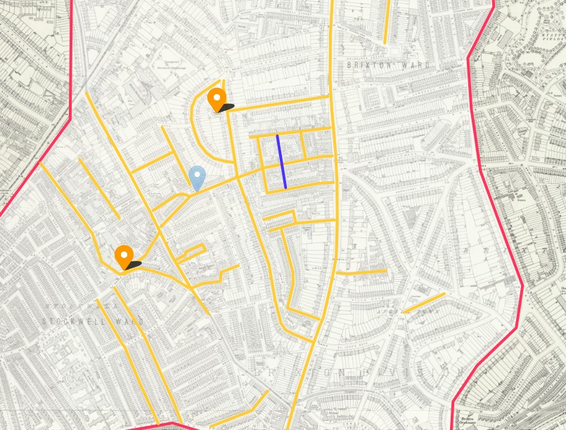
Well that got me thinking about how I had started plotting the Enumerators route of the 1841 Census of Millbrook. It was very rural then.
Link that to thoughts of GIS and BIM, and I join the conversation.
Later that day I start a new Google Map of Millbrook and using the Census images on Ancestry I start plotting the routes and key named places. I also start a spreadsheet which will expand the data extracted from the Census and also provide the upload to ESRI for the interactive ARCGIS Mapping.
 Pepin the Short's father, was Charles Martel.