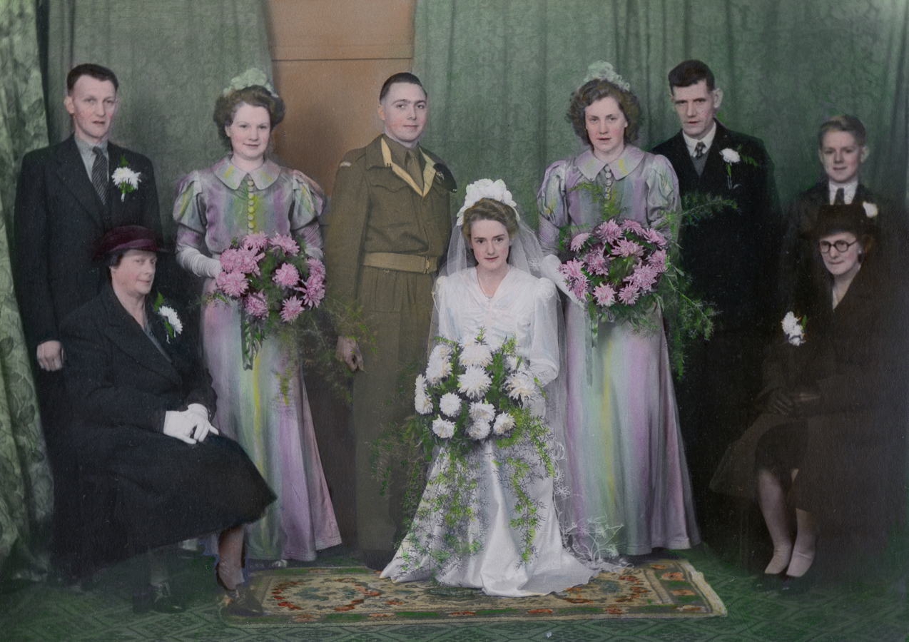
Auntie_Let_and_Uncle_Percys_wedding_1M.jpg
Weddings

Wedding of Let and Percy

Peggy_and_Normans_wedding_1M.jpg
Family

Wedding of parents,

Peggy and Norman

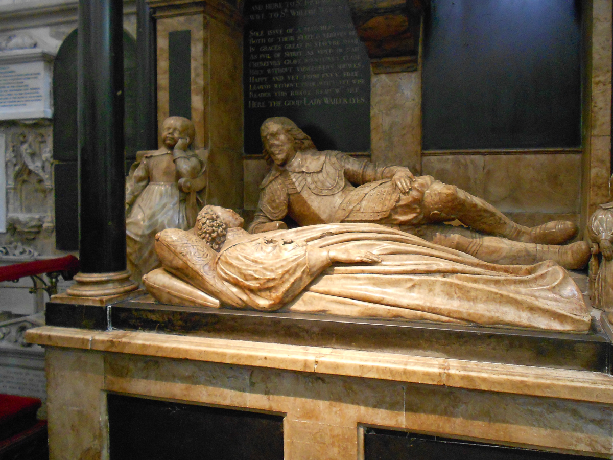
A_tomb_inside_Bath_Abbey_1M.jpg
Deaths

A Tome inside Bath Abbey

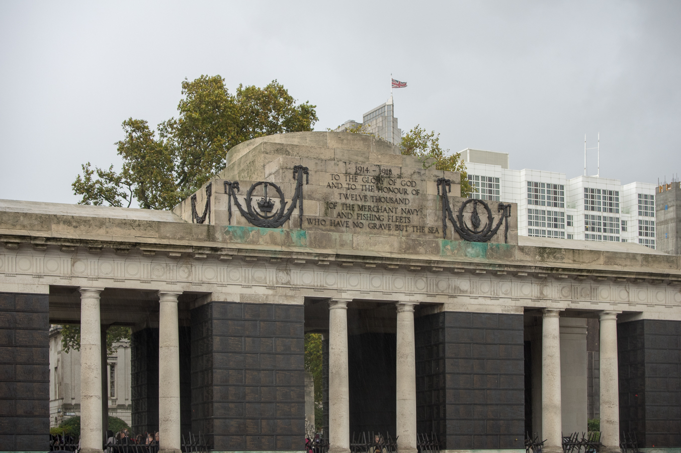
Merchant_Navy_War_Memorial_1M.jpg
Places

Merchant Navy War Memorial

Golden_Hinde_1M.jpg
History

Golden Hinde, London

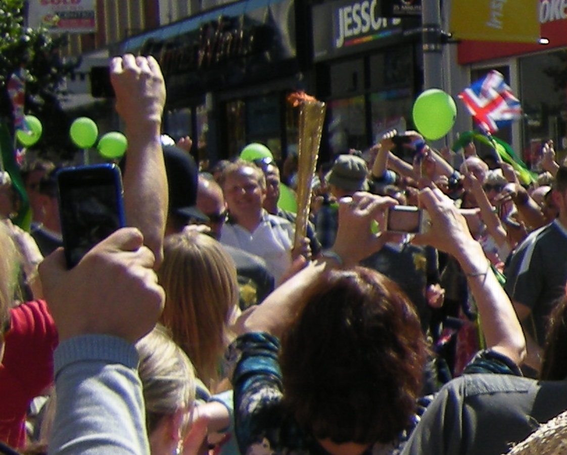
Olympics_Torch_Relay_passes_through_Sutton_1M.jpg
People

Olympic Torch carrier running through Sutton 2012

Temple_Bar_Memorial_1M.jpg
Stories

Temple Bar Memorial

HRH_Queen_Elizabeth_1M.jpg
Royalty

HRH Queen Elizabeth II in Epsom

London_Bridge_Station_remodelling_1M.jpg
Occupations

Railway Permanent Way (Track) workers

at London Bridge remodelling

Golden_Anniversary_2009_Group_1M.jpg
Anniversaries

Golden Anniversary

Peter and Gloria 2009

previous arrow
next arrow

Places

Extract from Domesday Book - Hampshire Page 23
Extract from Domesday Book - Hampshire Page 23 - Land of William son of Stur - Sopley (Sopelie)

Tithe Apportionment - Sopley

Tithe Apportionment - Parish of Sopley, Hampshire

Introduction


Tithe Apportionment

Time for a bit of time travel. Away from the Vikings, William the Conqueror, and the Domesday Book. Not all the way to the current day but to another significant change in the rural community.

Whereas an Agreement for the COMPUTATION of TITHES in the Parish of Sopley in the County of Southampton was, on the Eighteenth day of June  in the Year One Thousand Eight Hundred and Thirty Nine confirmed by the Tithe Commissioners for England and Wales, of which Agreement, with the schedule thereunto annexed, ...

Tithe Award opening paragraph for the Parish of Sopley

A jump to 18/06/1839 form 1086 in a single leap, missing out the Inclosure Acts of 1773 et al. Sometimes known as the Enclosure Acts.

I have recently purchased a copy of the Sopley Tithe Map and Award from the Hampshire Record Office. This is the record of the Tithe Survey for the Sopley area. 
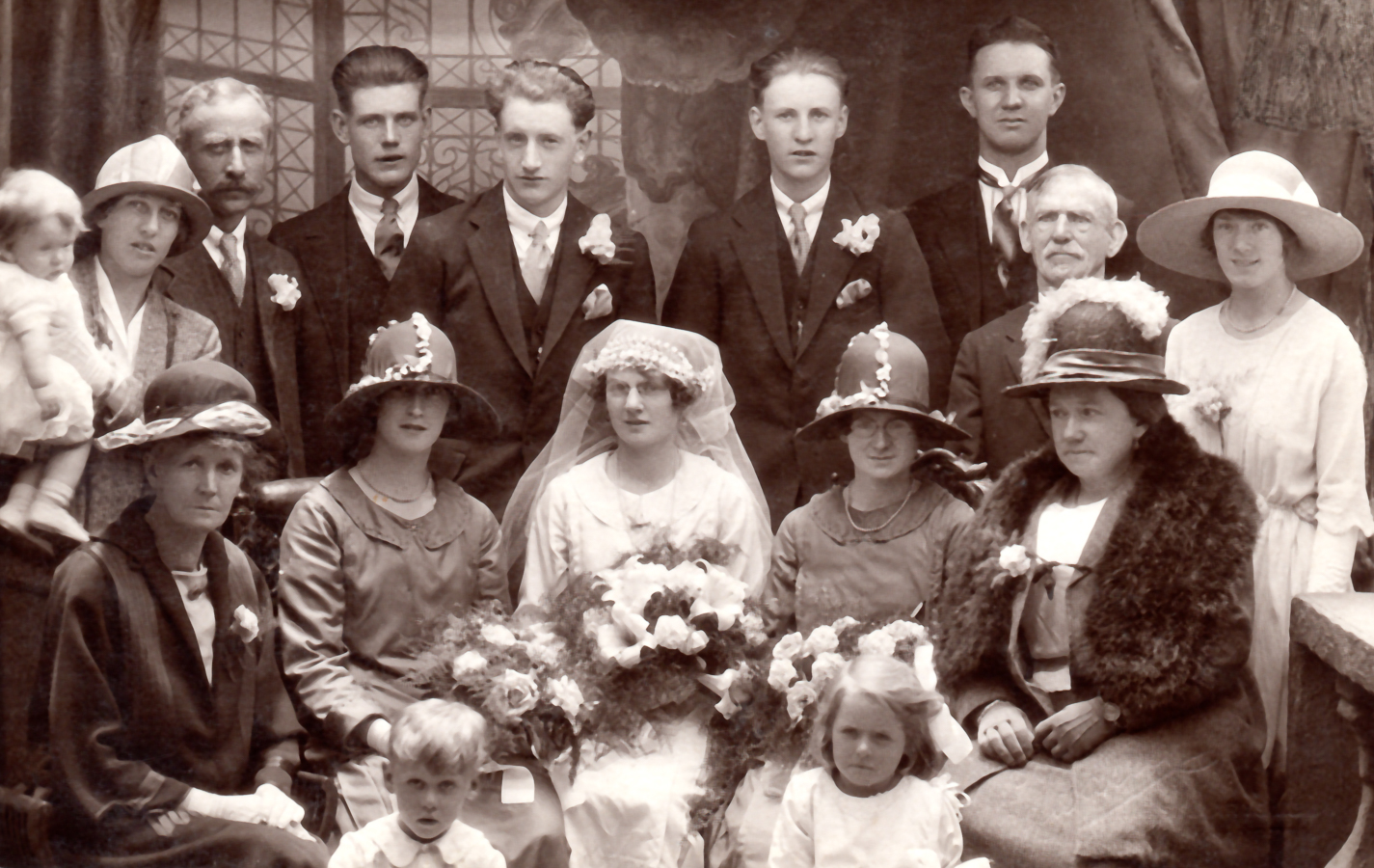
Shirley

Shirley, Hampshire

Shirley was at one time part of the parish of Milbrook, having previously been a Parish in its own right, but dissolved and incorporated into Millbrook in 

However as a manor it has stood on its own, as described in British History Online. An extract below. As a manor, it was also known as Shirley and Hill. The Hill village was at the bottom of the current Hill Lane, near Four Posts, and was part of the Hill and Sidford Tithing.

In the reign of Edward the Confessor Cheping held SHIRLEY (Sirelei, xi cent.; Schyrlegh and Shirlee, xiii cent.) of the king, and it was assessed at 1 hide. Ralph de Mortimer held in Cheping's stead at the time of the Domesday Survey, (fn. 17) and his descendants held knights' fees in Shirley as late at least as 1362. (fn. 18) By the fifteenth century, however, the manor had come to be looked upon as held of the prior and convent of St. Denis, (fn. 19) which held much property in the neighbourhood. In the fourteenth century the manor was held by the family of Shirley. Nicholas de Shirley in 1240 granted the advowson of the church of Shirley, which up to this time had no doubt gone with the manor, to the prior of St. Denis, (fn. 20) and Isabel de Shirley, widow of Roger de Shirley, and Nicholas, Roger, John, and Simon, sons of Roger de Shirley, were also benefactors to the priory. (fn. 21)

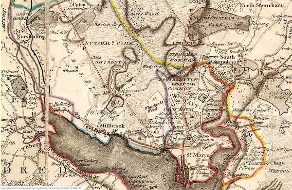
Milnes Hampshire 1791
Extract of Milnes Hampshire Map 1791 centred on the Parish of Millbrook

Millbrook Parish one place study

A Study of the Parish of Millbrook, Hampshire


My Millbrook Parish one place study The beginning was actually just a restart triggered by a post in the Facebook group of Guild of One-Name Studies by Karen Heenan-Davies on 7 August 2018. 

'I want to do analysis and maps of the BMD and census records to show how my surname Heenan changed geographically over time'

Well that got me thinking about how I had started plotting the Enumerators route of the 1841 Census of Millbrook. It was very rural then.

Link that to thoughts of GIS and BIM, and I join the conversation.

Later that day I start a new Google Map of Millbrook and using the Census images on Ancestry I start plotting the routes and key named places. I also start a spreadsheet which will expand the data extracted from the Census and also provide the upload to ESRI for the interactive ARCGIS Mapping.

Milnes Hampshire 1791
Extract of Milnes Hampshire Map 1791 centred on the Parish of Millbrook

Tithe Apportionment - Millbrook

Tithe Apportionment - Parish of Millbrook, Hampshire


Note the reference to Depopulation and read more about it here. By 1530 the population of England and Wales had risen to around 3 million. At the end of the 17th century it was estimated the population of England and Wales was about 5 1/2 million. The population of Scotland was about 1 million. The population of London was about 600,000. London went on to become the biggest city in the world for a while. In the 19th century Britain became the world's first industrial society. It also became the first urban society. By 1851 more than half the population lived in towns. As our population approaches 70m it is interesting to think of depopulation efforts at 3 million! The maps of Millbrook clearly show the urbanisation of the countryside.

Following the Tithe Commutation Act 1836 Tithe Maps were produced which recorded both the Landowner and Occupier for most lands. From the Tithe Apportionments records it is apparent that on 4th March 1843 Lady Hewitt 
was both the Landowner and Occupier of Plot 875, Freemantle Estate, described as House Offices and Pleasure Grounds, with an area in statute measure 6,0,2, about 2.4 Hectares. 

Nathaniel Newman Jefferys was both Landowner and Occupier of Plot 825 described as House Offices and Garden, an area of 2,2,24 imperial, on 4th March 1843. However, one plot does not show the full picture.

Millbrook

Millbrook, Hampshire

Millbrook is now a suburb of Southampton, which was for a time its own County Borough, but has returned to being part of Hampshire, England. 

What is my interest in Millbrook? I was born in the General Hospital, which is in Shirley Warren, part of the old parish of Millbrook, and grew up in the reduced size Millbrook, as part of Southampton.

Below is a extract from A History of the County of Hampshire: Volume 3. Published online at British History Online.

The original parish of Millbrook, including Freemantle and Shirley, now suburbs of Southampton, contained an area of 3,223 acres of land, 10 acres of land covered by water, 140 by tidal water, and 140 of foreshore. However, by the Southampton Borough Extension Act of 1895, Shirley and Freemantle, already separate ecclesiastically, the one since 1836, the other since 1851, were included in the municipal borough, and together formed into a civil parish, containing altogether 2,651 acres, of which 2,047 acres are land, 8 acres land covered by water, and 100 by tidal water, and 496 acres of foreshore. Hence the modern parish of Millbrook contains only 986 acres of land, 2 of land covered by water, and 40 by tidal water, together with 191 of foreshore.

Broadwindsor

Broadwindsor, Devon

Broadwindsor and various similar spellings is a small village in West Dorset about 2.5 miles from Beaminster, the nearest town.

So far, it is the origin of the Pomeroy branch of my Family Tree. It is thought that there are two separate DNA groups of Pomeroys in the area which obviously causes ssome confusion and complications whist researching Family Trees.

The village has a website with a tab regarding history and a page in he Dorset Guide. It also has a record in British History Online listing some notable buildings. There were signs of settlements in this area prior to the arrival of the Romans in AD 43 and the village is recorded in the Domesday book as the manor of Windesore held by Hunger, the son of Odin. Many of the names of people still living in the village and surrounding farms are recorded in documents dating from the 13th and 14th centuries, when many of the inhabitants were freemen. These names include Hallett, Paul and Studley.

Subcategories


Flag Counter